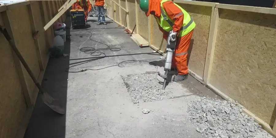
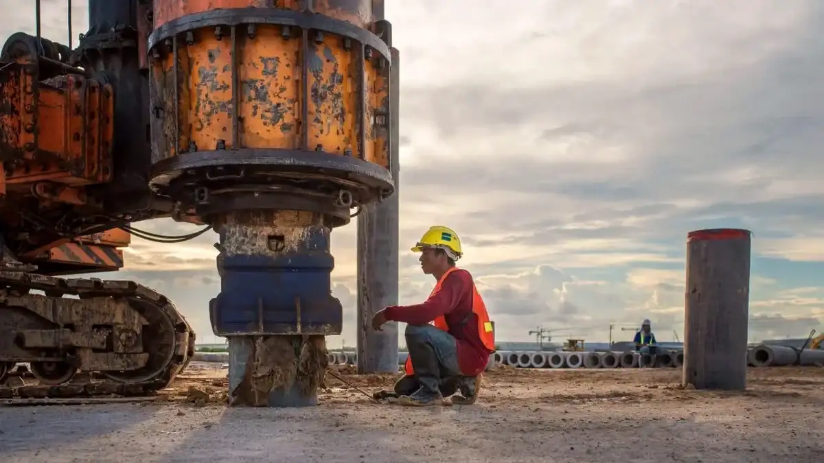
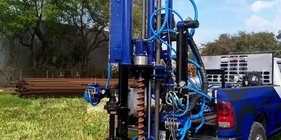
Last month we were on a site off London Road where a developer had assumed firm chalk at 3 metres based on a desktop study. The rig went in, and by 2.2 metres we were into soft alluvial silts with N-values barely hitting 4. That is Ipswich for you — the Gipping and Orwell valleys hide sequences that no borehole log from two streets away can predict. Our SPT programme mapped the soft layer across the footprint, and the structural engineer switched from pad footings to a piled solution before a single cubic metre of concrete was poured. Whether your project sits on the Anglian glacial till that caps much of the town or on the river terrace gravels near the waterfront, the test pits we excavate for preliminary profiling rarely tell the full story once you go below 1.2 metres. The SPT gives us that deeper picture, sample by sample, blow by blow.
An SPT does more than count blows — it gives you a soil sample from every 0.75 metres, and in Ipswich's mixed glacial and alluvial ground, that visual log is often worth as much as the N-value itself.