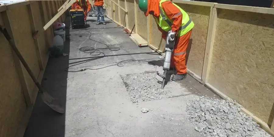
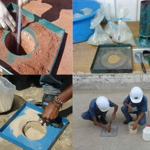
The difference between a road that holds up for twenty years and one that develops ruts after the first wet winter often comes down to a single parameter: in-place density. On a recent embankment fill project near the Orwell Bridge, the contractor had placed five lifts of sandy gravel borrowed from a pit west of town. The material looked well compacted, but three out of twelve sand cone tests came back below 95% of the maximum dry density from the lab Proctor. Those three low readings happened to sit right where the carriageway would carry the heaviest lorry traffic. Rather than risk differential settlement, the team scarified and re-compacted the deficient zones before the asphalt went down. That kind of field decision depends entirely on having a test method that gives you a direct, volumetric measurement of density right at the point of interest. In Ipswich, where the underlying geology shifts from London Clay in the Gipping Valley to the sands and gravels of the Kesgrave formation, the sand cone method remains one of the most practical tools for verifying earthwork quality. We run these tests on road subgrades, pipeline trenches, structural fill behind retaining walls, and anywhere the specification calls for a relative compaction check. The method is simple in principle: excavate a small hole, weigh the soil removed, then measure the hole volume with calibrated sand. But doing it right—and particularly doing it where the soil contains gravel-sized particles that can distort the hole shape—requires a steady hand and a lot of practice. We often pair the field density test with a grain size analysis to confirm whether the material's gradation actually matches the Proctor curve used for acceptance, because a mismatch there can make a perfectly compacted fill look like a failure on paper.
A Proctor number is just a target. The field density test tells you whether the ground actually hit it, lift by lift and metre by metre.